Asset Monitoring & Remote Sensing
Asset monitoring and remote sensing services
Know an asset is degrading before it fails, from imagery you already have access to.
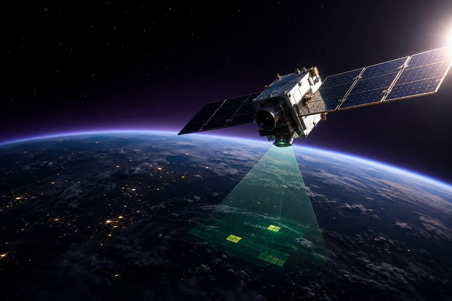
Satellite and aerial imagery, IoT sensor feeds, and inspection data fused into a continuous asset-health picture - flagging degradation, encroachment, or anomalies against a physical asset without waiting for the next scheduled site visit.
What this covers
- Satellite and aerial imagery change-detection on a defined schedule
- IoT sensor fusion for continuous condition monitoring
- Automated anomaly and encroachment alerts against baseline imagery
- Inspection prioritization ranked by asset criticality and change severity
How we engage
- Inventory assets and available imagery, sensor, and inspection sources
- Stand up automated change-detection against a defined baseline
- Route alerts into the maintenance and inspection workflow already in use
More in GIS & Spatial Intelligence
Most engagements draw on more than one capability, built as a single stack rather than separate practices.
- Spatial Data Fusion & Operating PicturesOne live operating picture, fused from every feed you have.
- GeoAI & Predictive Spatial AnalyticsForecasting risk and demand at the level of a specific place, not a regional average.
- Smart City & Infrastructure Digital TwinsA living model of the city or facility, not a static as-built drawing.
- Route & Logistics OptimizationFewer miles, the same deliveries, measured against what you were doing before.
- Location Intelligence & GeomarketingWhere to open, where to invest, and where the market already told you not to.
Common questions about Asset Monitoring & Remote Sensing
Can't find what you're looking for? Ask us
Do we have to replace our existing GIS?
Usually not. Most of this work is spatial data fusion - pulling your existing GIS, sensor feeds, imagery, and operational systems into one live picture. Replacing a working system of record is rarely the cheapest route to the outcome you actually want.
Ready to talk through your next move?
Book a 30-minute strategy session with a ECLACTRA™ lead - no sales deck, just a straight conversation about where AI, geospatial, engineering, or fractional leadership could actually move the needle.